
The World’s Oldest 3D Map? Paleolithic Engraving in a Paris Basin Cave
A Glimpse Into the Minds of Ice Age Mapmakers
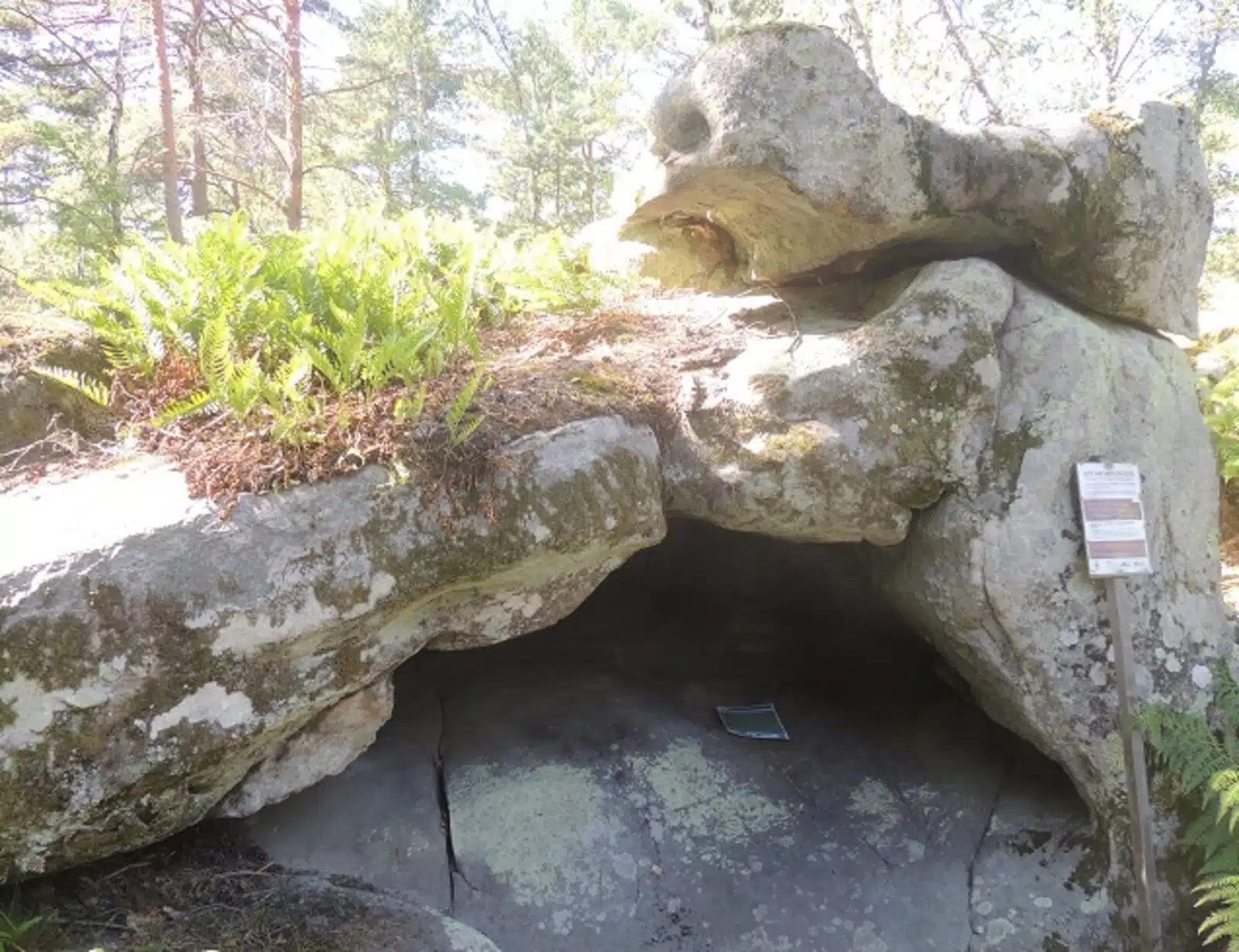
Beneath the sandstone massif south of Paris lies the Ségognole 3 cave, a site that may redefine our understanding of Paleolithic innovation. Researchers have uncovered an extraordinary engraving on the cave floor, suggesting it may be the oldest known three-dimensional map. Dating back more than 20,000 years, this artifact provides a fascinating glimpse into how Ice Age hunter-gatherers perceived and interacted with their landscape.
Ancient Cartography in Stone
The study, published in the Oxford Journal of Archaeology1 by Médard Thiry and Anthony Milnes, describes a series of engravings carved into the floor of the Ségognole 3 cave. These carvings appear to form a miniature representation of the surrounding Noisy-sur-École landscape, including its hydrological and geological features.
