The Plateau That Shouldn’t Exist
In the humid lowlands of southeastern Mexico, where cattle pastures now stretch over what was once dense tropical forest, lies a vast plateau that seems, at first glance, entirely out of place. It is nearly a mile long, a quarter-mile wide, and rises as much as 15 meters above the surrounding terrain. Its scale is staggering, rivaling the monumental cities of Tikal and Teotihuacan that would rise more than a thousand years later. Yet this place, known as Aguada Fénix, was built around 1000 B.C., long before kings or dynasties shaped Mesoamerica’s political landscape.
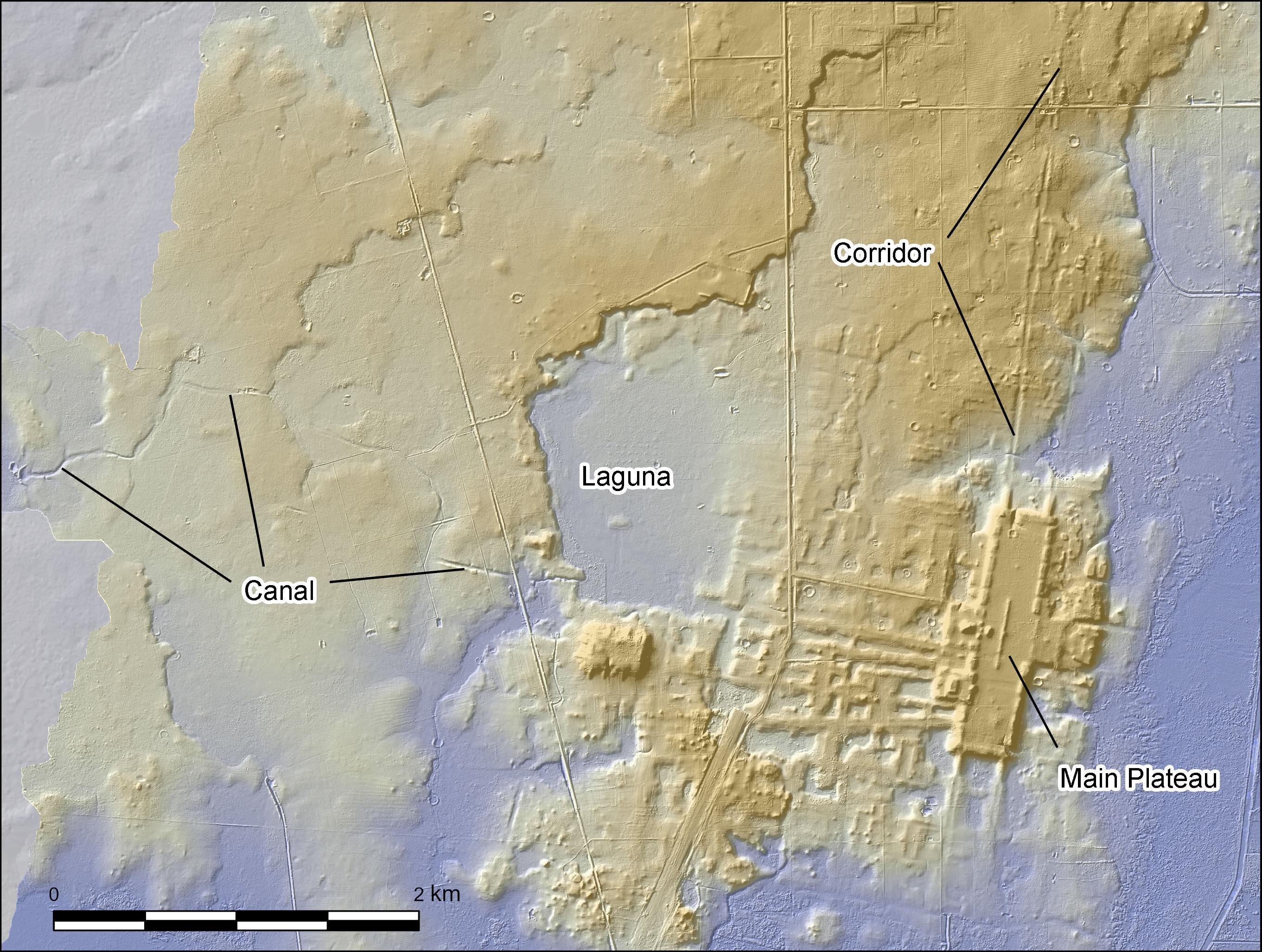
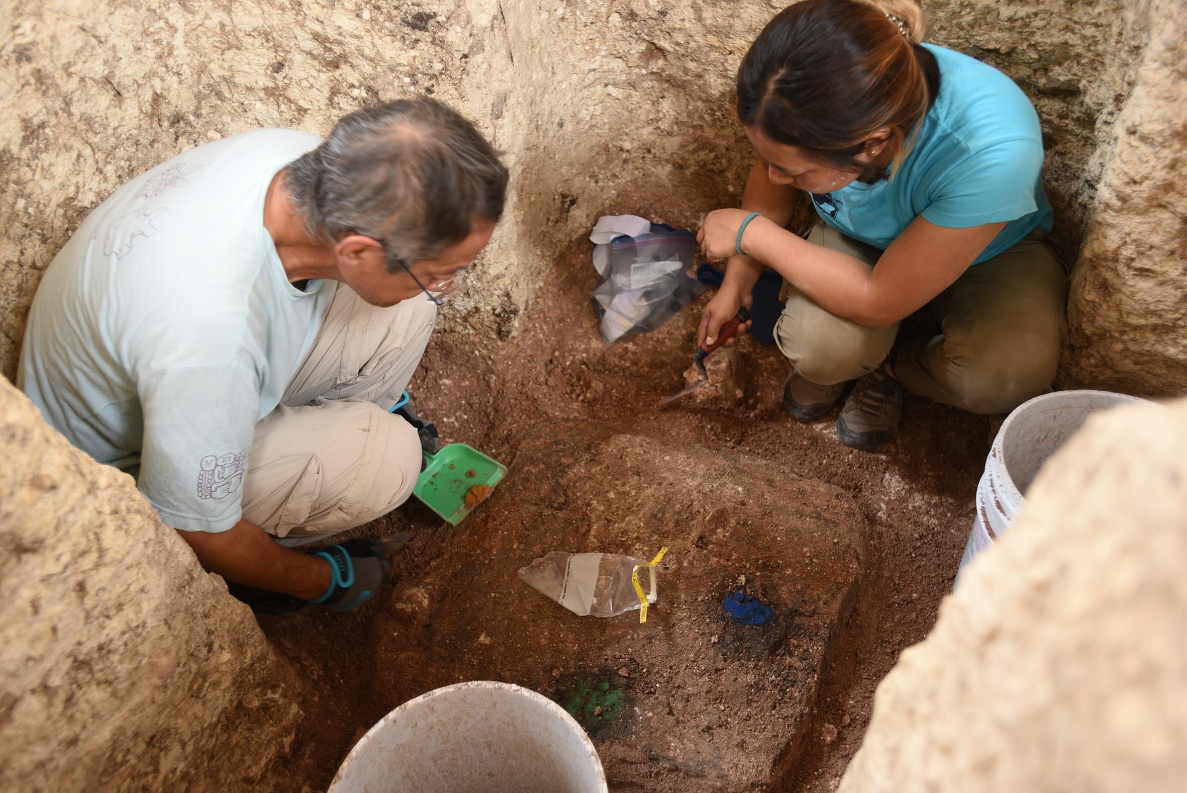
When archaeologist Takeshi Inomata first mapped the site using airborne lidar—a laser-scanning technology that penetrates jungle canopy—he was stunned. Beneath what had appeared to be nothing more than cattle fields lay the largest and oldest monumental complex in the Maya world. But the surprises didn’t stop there.
Aguada Fénix wasn’t a fortress or a palace. It was a cosmogram—a massive, landscape-wide model of the universe.
“It’s as if people gathered not to glorify a ruler, but to materialize a shared vision of order itself,” says Dr. Marisol Echeverría, a Mesoamerican archaeologist at UNAM. “They built the cosmos into the ground.”
A World Carved in Crosses and Colors
The latest excavations, reported in Science Advances,1 revealed a geometric precision rarely seen at sites of this age. The entire plateau was oriented along north-south and east-west axes, forming vast nested cross patterns that extended nearly nine kilometers across the landscape. These lines weren’t symbolic sketches—they were canals, causeways, and corridors, carefully dug and filled, connecting the plateau to surrounding wetlands and lagoons.