A hillfort, by the usual definition, is a defended hilltop. Maybe a chieftain’s residence, maybe a refuge in hard times, maybe just a place where livestock could be penned for a season. It is not, in most people’s mental picture of the European Bronze Age, a town.
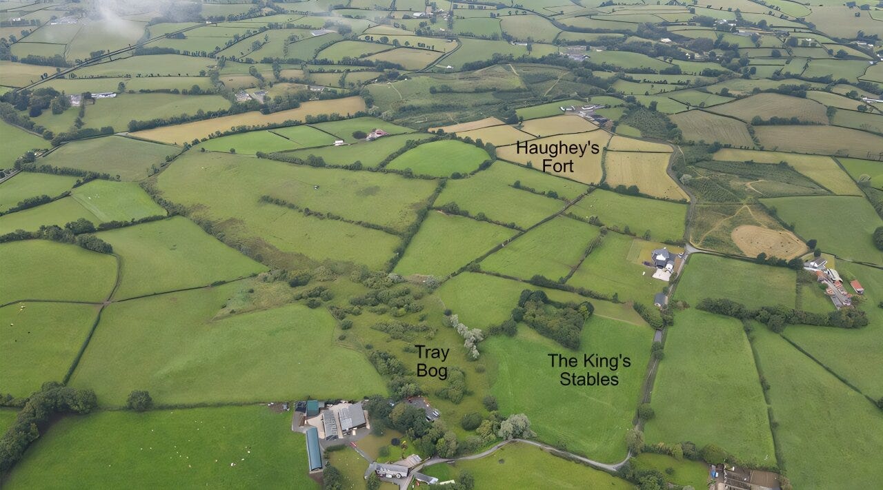
Haughey’s Fort, a low rise of farmland near Armagh in Northern Ireland, has spent decades sitting in the shadow of its more famous neighbor. Navan Fort, a few hundred meters away, is the legendary capital of Ulster, the seat of Iron Age kings and the setting for early medieval sagas. Haughey’s Fort was the older, plainer relation: three concentric ditches, excavated in fits and starts in the 1980s and 1990s, interesting mainly as a prelude to the main event.
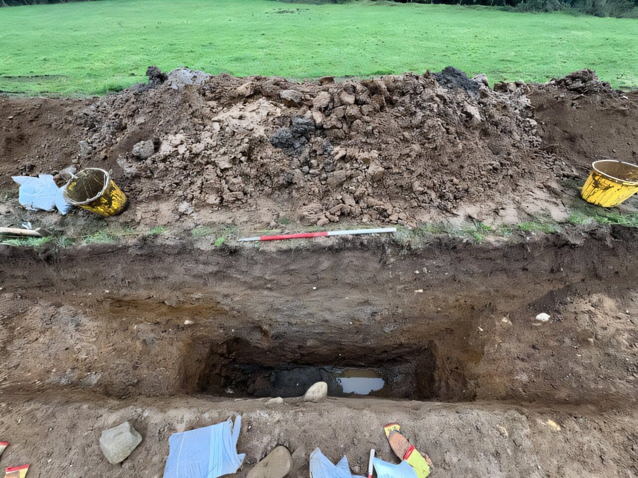
A new study published in Antiquity,1 led by James O’Driscoll of the University of Glasgow and Patrick Gleeson of Queen’s University Belfast, argues that this framing has things backward. Using lidar, magnetic gradiometry, ground-penetrating radar and a fresh look at decades-old excavation archives, the team has reconstructed a landscape that looks less like a fort and more like a planned regional center, one of the earliest candidates for something resembling urbanism anywhere in Bronze Age northwest Europe.
The dating is not in dispute. An oak timber from the base of the inner ditch produced a felling date of 1152 to 1116 BC, and the surrounding radiocarbon evidence places initial construction and use of the site around 1191 to 1018 BC. What has changed is the picture of what was built, and how much of it.