

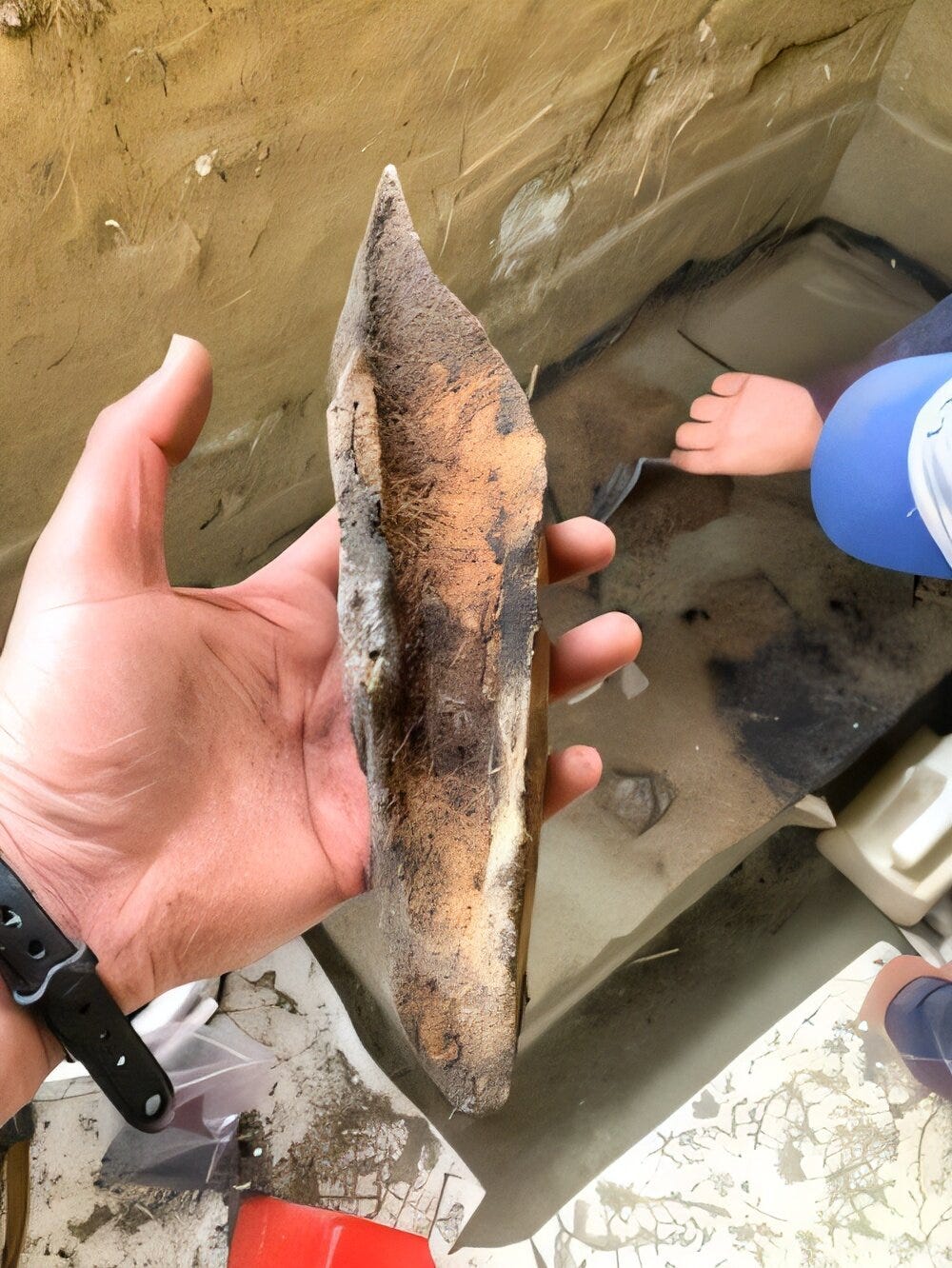
One charcoal-filled feature at an Alaskan site holds 27,231 pieces of flaked stone that together weigh 5,835 grams, which works out to about two-tenths of a gram apiece. Most of them are resharpening flakes, the shavings a toolmaker produces when touching up an edge, and the excavators recovered them by washing the feature’s fill through screens in the laboratory. The feature, designated F21.04, sits at Shég’ Xdaltth’í’, a bluff above the Tanana River in interior Alaska, east of where the Bering Land Bridge once lay, and radiocarbon dates on its charcoal and bone fall between 13,780 and 13,570 years ago (all ages here are calibrated years before present).
The picture of the Bering Land Bridge that most educated readers carry is a corridor: a cold steppe crossed by small parties of hunters following mammoth and bison, who left little behind because they did not stay. Kelly Graf, professor of anthropology at the University of Kansas, and fifteen co-authors argue in Science Advances1 that the people who left F21.04 did stay, and that the site is better described as a base camp than a hunting stop. The corridor picture has an excuse, since the paper itself opens by calling Beringia’s archaeological record poorly understood, but the excuse thins when one counts what has accumulated on this one bluff, which includes more than 80,000 specimens from a block of ground only 25 square meters across.
The question behind the paper comes from genetics. Geneticists predict that between 16,000 and 13,000 years ago Beringia held at least three populations (the ancestral Native Americans and two labeled UPopA1 and UPopA2) and possibly a fourth, Population Y, all of which gave rise to the ancestors of Indigenous Americans south of the Canadian ice sheets, along with a fifth, the Ancient Beringians, who appear to have stayed in northwest North America. Archaeologists, the authors say, are struggling to match those populations to the variation in the ground, and the Tanana basin offers the most to work with: nineteen of the 28 Beringian occupations dated to before or during the Clovis era (13,200 to 12,750 years ago, the span of fluted-point technology in temperate North America) lie in an area slightly larger than Maryland, and none of them contains a fluted point.
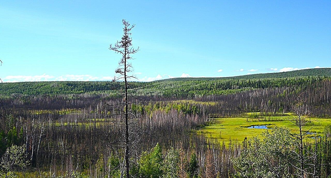
The site sits on a bluff about 35 meters high, 55 kilometers south-southeast of Fairbanks, with a bedrock knob rising 434 meters behind it that sheltered the inhabitants from northwesterly winds. Its name, which means “they were there” in Alaska Native Athabascan, was given by the elders of Healy Lake Village; a cultural resources survey found the site in 2010, when it was known as McDonald Creek. Roughly 320 centimeters of windblown sediment bury four archaeological components, labeled C1 (the lowest), C2a, C2b and C3, and C1 supplies most of what follows.
Fifty of the site’s 66 radiocarbon dates come from C1, and a Bayesian model places that component between 13,850 and 13,500 years ago. C2a and C2b are brief later visits at 13,080 to 12,840 and 12,820 to 12,640 years ago, and C3 is a diffuse scatter from the middle Holocene. The C1 model took three runs, with four dates that disagreed with the rest removed along the way, and the authors caution that the result narrows the component considerably and may be flattening several separate occupations that began as early as 14,050 years ago and ended as late as 13,120. The modeled duration of C1 is 284 years, plus or minus 34.
Rhyolite dominates the stone at 70 percent, and 64 of the 71 rhyolite pieces sourced by x-ray fluorescence trace to a quarry nobody has located, though its frequent appearance in early Nenana Valley assemblages points to that district. All 25 obsidian artifacts came from Batza Téna, 370 kilometers west-northwest, and none from Wiki Peak, the other major interior source, 400 kilometers southeast.


