
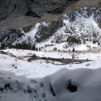
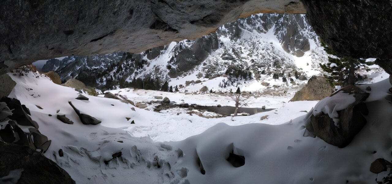
At 2,320 meters in the central Pyrenees, in a rock shelter called Obagues de Ratera, someone built a fire on bare stone at the bottom of what would become a very long stratigraphic sequence. The charcoal from that hearth has been radiocarbon dated to somewhere around 8,000 cal BC, close to ten thousand years before now. The glaciers that had carved this valley were retreating but hadn’t gone. Small cirque glaciers still sat in the high basins nearby. The climate was warming, unevenly, the way post-glacial climates do. And people were already up there, far above where most archaeologists, for most of the twentieth century, assumed anyone would bother to go.
That date is one of 124 now compiled by Ermengol Gassiot and his colleagues at the Universitat Autònoma de Barcelona, drawn from 45 sites inside the Aigüestortes i Estany de Sant Maurici National Park, a roughly 40,000-hectare stretch of granite peaks and glacially carved valleys on the eastern edge of the Aneto-Maladeta massif. The database, published alongside a paper in Archeologica Data,1 is the product of twenty years of survey and excavation by the High Mountain Archaeology Group, and it does something simple but rare in mountain archaeology: it puts dates on the map, not just artifacts.
This matters because high-mountain archaeology has spent most of its existence fighting an assumption baked into the discipline. Through much of the last century, rugged terrain above the treeline was treated as a backdrop for occasional, specialized activity, a place you fled to during conflict or visited briefly to do something that couldn’t be done lower down. Permanent or recurrent occupation wasn’t really on the table. Three decades of survey work across the Pyrenees, the Alps, and other ranges of the Mediterranean arc has slowly dismantled that picture, turning up architecture, rock art, burial structures, and artifact scatters at altitudes that earlier generations of archaeologists would have written off as empty. The Aigüestortes park, with 380 documented sites and counting, is one of the clearer test cases for just how wrong the old assumption was.
Most of those 380 sites, about two-thirds, are livestock-related architecture: huts, enclosures, the kind of structures you’d expect from people moving animals through seasonal pasture. Rock shelters and caves make up another fifth. There are stone circles that may be funerary monuments, a handful of charcoal kilns, and scattered evidence of metalworking. What the survey data couldn’t show, on its own, was when any of this activity happened. A site map tells you where people went. It doesn’t tell you whether they went there once, in 2000 BC, or every few centuries for ten millennia. That’s the gap this dataset is built to close.


