At a rock shelter in the Blue Mountains of New South Wales that the authors label BM140, two red hand stencils sit side by side on a slightly angled panel beneath a band of iron-rich stone: a left hand directly next to a right, together about 35 by 15 centimeters. The authors think one person made both in a single event, and the paper gives no date for them. Before this survey the shelter was absent from the Aboriginal Heritage Information Management System (AHIMS), the register where New South Wales records Aboriginal sites, and a LiDAR scan of the terrain, followed by a walk to the spot, is what led the survey team to it.
I suspect most readers carry two assumptions about this kind of work. One is that shelters in steep forested country turn up only when someone walks the cliff lines; the other is that once a shelter is on the register, its coordinates say where it is. The paper,1 from a University of Sydney team working with the Dharug Custodian Aboriginal Corporation, tests both in the Blue Mountains, and the answer so far is modest: LiDAR can narrow where surveyors need to walk, and the register’s coordinates for six shelters checked on the ground sat 1.78 to 30.10 meters from the mapped shelter edge.

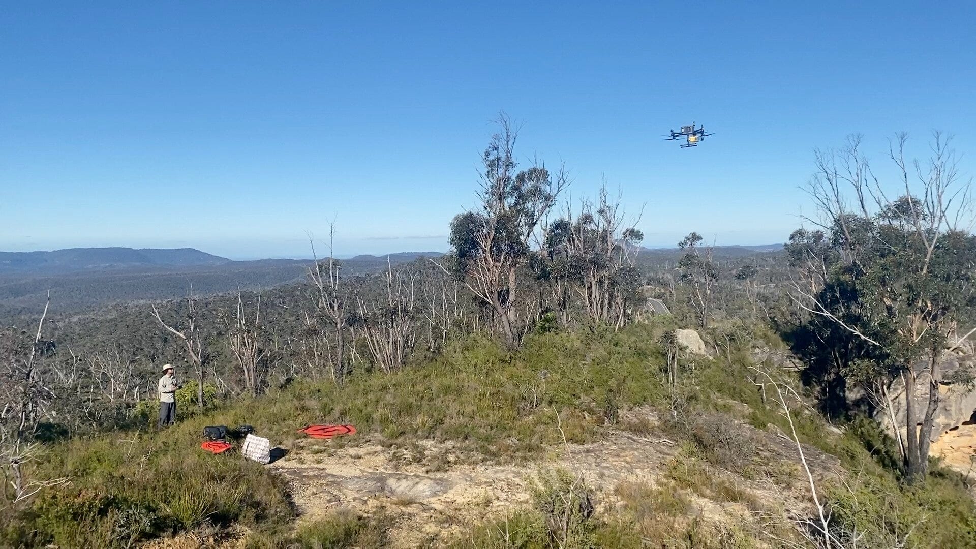
The study, by Jacob L. Bongers and six co-authors including Wayne Brennan and Amy Mosig Way, appeared in Remote Sensing in 2026 (volume 18, article 3495). The team wrote models that flag candidate shelters in two LiDAR datasets, then went to see whether the candidates were real. Across a 1,057 square kilometer study area, the model run on public aircraft data produced 751,655 detections. The team’s own drone flights covered four zones totaling 4.16 square kilometers and produced 2,017. After screening candidates on a computer, they visited 19 drone detections on foot, a step called ground-truthing, and all 19 were shelters or similar recesses beneath rock formations. Six registered shelters were relocated, and three unregistered shelters (BM139, BM140 and BM141) were found to hold stone artifacts, with rock art at BM140. What I want to work out is how much of that result the method deserves credit for, given that a person chose which detections to visit.