

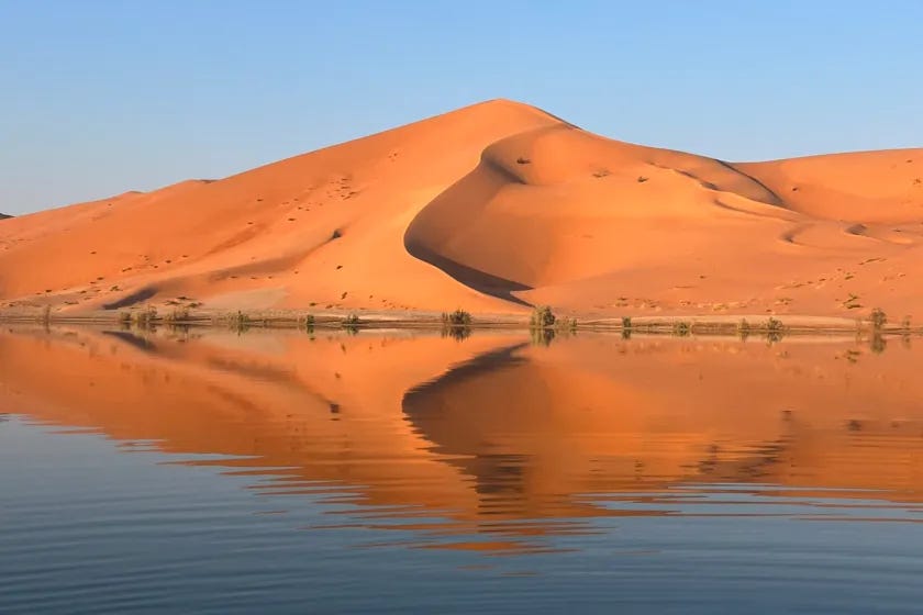
The interdune corridors of the Rub’ al Khali, the sand sea that covers about 650,000 km² of southern Arabia, are a good place to find a freshwater snail. Wind has stripped the dunes from sediments laid down in the lakes of Green Arabia, the wet phases when stronger Indian Ocean monsoons raised water tables, and survey teams on foot recorded gastropod shells and ostrich eggshell fragments only centimeters across, with more than 95% of the ground visible. They found no flaked stone. Of 125 localities along a 1,500-km transect, 55 preserved lake deposits that the authors correlate with Marine Isotope Stage 5 (MIS 5), roughly 122 to 67 ka (thousands of years ago), and not one of the 125 yielded an artifact or any other sign of people.
That emptiness runs against a standard expectation. Models of early human dispersal through Arabia lean on climate and treat freshwater as the variable that decided where populations could settle, and models built on reconstructed lake and river networks flag the interior basins of the Rub’ al Khali as likely places for Middle Paleolithic and Middle Stone Age (MP/MSA) occupation (for example Breeze and colleagues, 2016). The authors use MP/MSA because Arabian assemblages resemble the prepared-core industries of both western Eurasia and Africa.
In Nature,1 Rudolf Dellmour of the University of Vienna, Jeffrey Rose of the Universidade do Algarve and eight co-authors report that the interior fails this prediction. Knappable stone, meaning rock that breaks with the sharp, curved fracture of chert or quartzite, is missing across the basin, and a model of 363 known MP/MSA sites on the Arabian Peninsula finds that sites cluster where water and knappable stone both occur. Of the Peninsula’s water-accessible terrain, 57% lies on geological formations with no knappable stone. The authors conclude that stone acted as a second, independent constraint on settlement, and that dispersal models built on water alone may overestimate the habitable range of people who depended on stone tools.


