
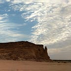
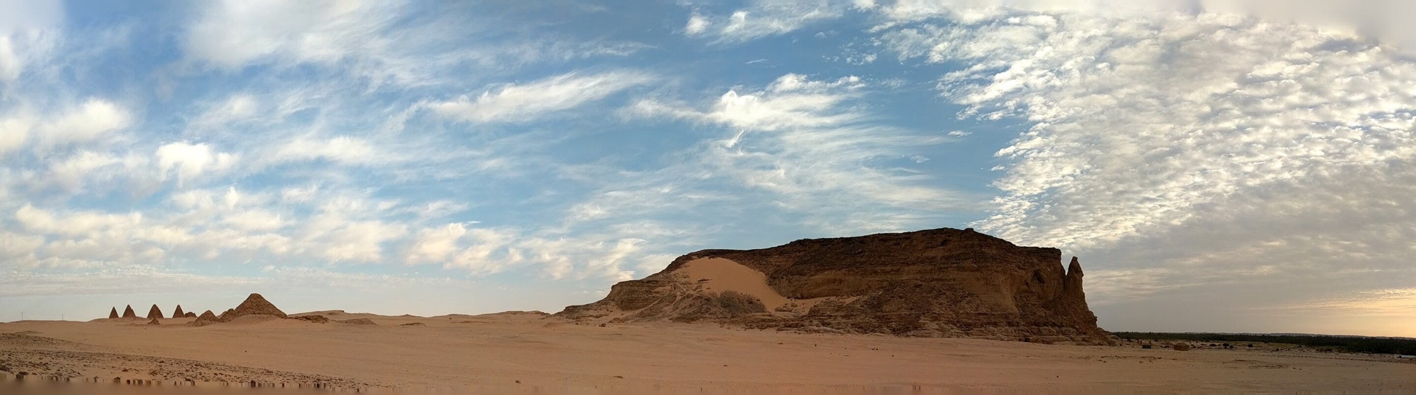
At the foot of a 105-meter sandstone mesa in what is now northern Sudan, the Kushite empire built its capital. Temples, palaces, pyramids — the full weight of imperial ambition concentrated at a single bend in the Nile, near a place the Egyptians had already identified as sacred and the Kushites would make their own. The city was called Napata. The rock was called Jebel Barkal. For roughly fourteen hundred years, from about 1070 BCE to 350 CE, it held.
The question of why is partly political, partly religious, partly the kind of contingent historical accident that resists clean explanation. But a study published this month in PNAS1 offers an answer that comes from below the surface, literally. A team led by geomorphologist Jan Peeters and archaeologist Geoff Emberling of the University of Michigan spent years drilling sediment cores across the Nile valley at Jebel Barkal — 26 boreholes reaching between five and thirteen meters down — to reconstruct what the river had been doing at this spot for the past 12,500 years. What they found was a remarkably stable landscape, and a set of geological reasons why it got that way.
The Nile everyone knows — slow, brown, annual floods, the engine of Egyptian agriculture — is not the Nile of northern Sudan. South of Aswan, the river hits a series of rocky interruptions: the cataracts, stretches where bedrock forces the water through rapids and around islands. These disrupt navigation, fragment the valley, and create conditions radically different from the broad floodplains of Egypt. “We might think we know all we need to know about the Nile because there’s been a fair amount of research in Egypt,” Emberling has said. “But in Sudan, the way the Nile works is different.”
It was not always different in the way it is now.


