

The Rio Bravo Conservation and Management Area covers 102,790 hectares of northwestern Belize. Little has happened to it since the Maya left, roughly a thousand years ago. Big trees, big lianas, big fallen trunks, seedlings of canopy species coming up underneath: by every standard definition, this is old-growth forest. Uninterrupted succession, a millennium of it.
Fly a laser scanner over that forest and you find a city underneath.
That part is no longer surprising. Airborne lidar has been reshaping Maya archaeology since the Caracol survey in 2011, and by now the pattern is familiar. Pulses of laser light go down, most bounce off leaves, a fraction slip through gaps and hit the ground, and enough of those ground returns come back to build a digital terrain model at half-meter resolution. Strip away the vegetation digitally and the buried landscape appears: plazas, causeways, canals, house mounds, low walls running for kilometers through what looks from the ground like undifferentiated jungle.
What Sara Eshleman and colleagues did in a new paper in Scientific Reports1 is look at the part everyone throws away.
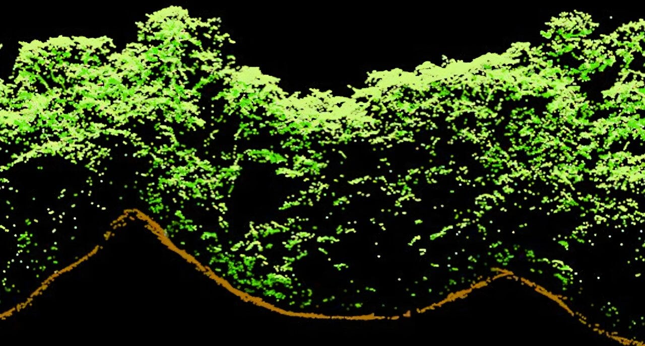
The vegetation returns. All those pulses that hit the canopy and never made it to the ground are, for archaeological purposes, noise to be filtered out. But they encode the three-dimensional structure of the forest in considerable detail: how tall it is, how the leaf mass is distributed vertically, how bumpy the upper surface is, how much light gets through. Foresters and ecologists have been using exactly this data for years to estimate carbon and biomass. Nobody had systematically correlated it with the archaeology sitting directly beneath.
The team ran that correlation across a 47 square kilometer study area covering two large Maya centers, Wari Camp and Gran Cacao, plus the Central Rio Bravo wetland field complex, an 8 square kilometer expanse of rectilinear canals cut into the floodplain next to Wari Camp. Occupation ran from about 2900 to 1000 BP, with the population peak during the Classic Period, 1400 to 1000 BP. The wetland complex itself was in use from roughly 2030 to 840 BP. The canals, in other words, went out of service more than eight centuries ago.
Three categories of ancient feature were mapped: settlement structures, wetland field systems, and upland wall features. Rather than trusting a single archaeologist’s eye, two researchers independently digitized every human modification they could identify and assigned confidence levels to each call. Those judgments were combined into continuous indices, so what enters the statistical models is not “there is a house mound here” but “here is how much confident evidence of settlement exists in this grid cell.” Topographic variables went in alongside: slope, curvature, aspect, elevation, local and regional topographic position. Topography has long been understood as the dominant control on vegetation in this region, so it needed to be held accountable before anything could be attributed to the Maya. Spatial error models handled the autocorrelation that inevitably shows up when you sample a landscape comprehensively.
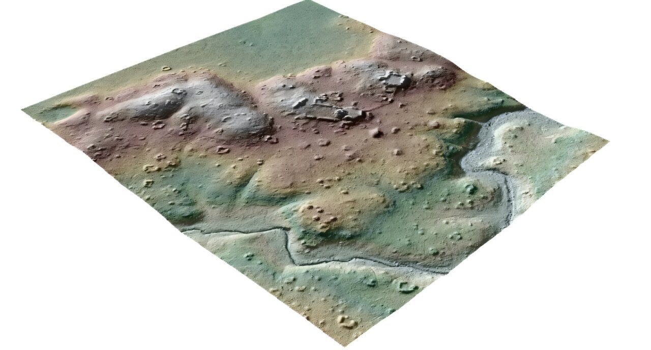
The result is that each of the three feature types leaves a different mark on the forest above it.


