

Three greyish blobs sit in a section wall at Sorte Muld, oriented vertically, looking about the same as the grey deposits around them. Photograph the wall under sixteen different wavelengths of LED light, run the stack through a principal components analysis, and the blobs separate cleanly from everything nearby. They are not the same material. There is also a fourth one, which nobody had drawn.
That is a small result from a small prototype. The larger claim behind it is that the instrument doing the looking cost roughly a twentieth of the hyperspectral rigs previously brought onto excavations, runs on a Raspberry Pi 4, and can be powered off a cordless drill battery.
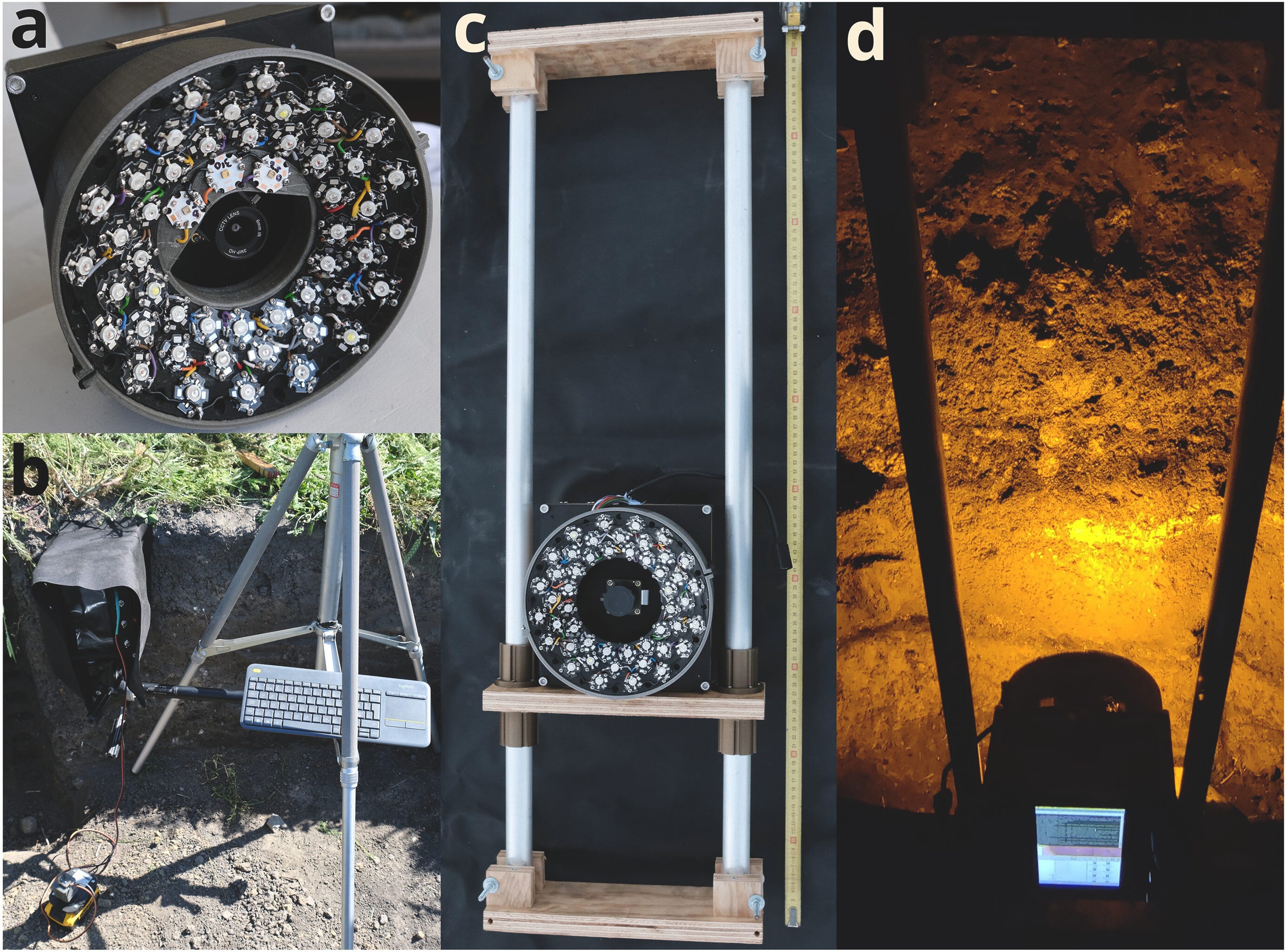
The problem it addresses is old and specific. Excavation is the identification of stratigraphic units followed by their removal in sequence, which means the whole enterprise depends on an archaeologist being able to see where one unit stops and the next begins. Usually that works. In dark earths it does not. Where organic content is high, everything in the profile is black, and the contrasts that define stratigraphic events are either faint or absent in visible light. The units get sorted out later, in post-excavation analysis, which is a poor consolation given that the deposits themselves are gone by then.
Sorte Muld, on Bornholm, is the case where this bites hardest. The name means black earth, and the site earned it: more than a meter of cultural deposits accumulated during occupation running from roughly AD 0 to AD 1000, laid down by a settlement that was a power center in the Baltic and is best known for more than 3,400 gold foil figures dating to the sixth and seventh centuries. Buildings there were rebuilt repeatedly. The busier a given part of the complex was, the messier its sedimentology. Some of the resulting layers are a few millimeters thick. Whether a given one was even visible on a given day could depend on how wet the soil happened to be.
The profile the team worked1 on was reopened during a 2019 excavation, catalogued as Margrethe Watts, BMR1191, to supply material for dating and environmental analyses. The imaging happened there.
The video shows the LEDMSI flash illuminating the soil at different wavelengths. Credit: David Stott, Moesgaard


